 |
| Photo 57: Meandering river at Buffalo Jump in the badlands of Alberta. 2011-05-12 |
Meandering Rivers
Photo 57 above shows a clear meandering river, which is a river path with many curves and bends. Water flows to the lowest spot, which determines the path of the river. This is called channel habit. This habit or path of the river is influenced by the amount of discharge, amount of sediment in the river, type of sediment, and the channel gradient (slope). Meanders probably form due to the uneven terrain. Once meanders are formed, they often widen due to deposition in the inside corners of the curves and flood plains and erosion on the outside of the curves.
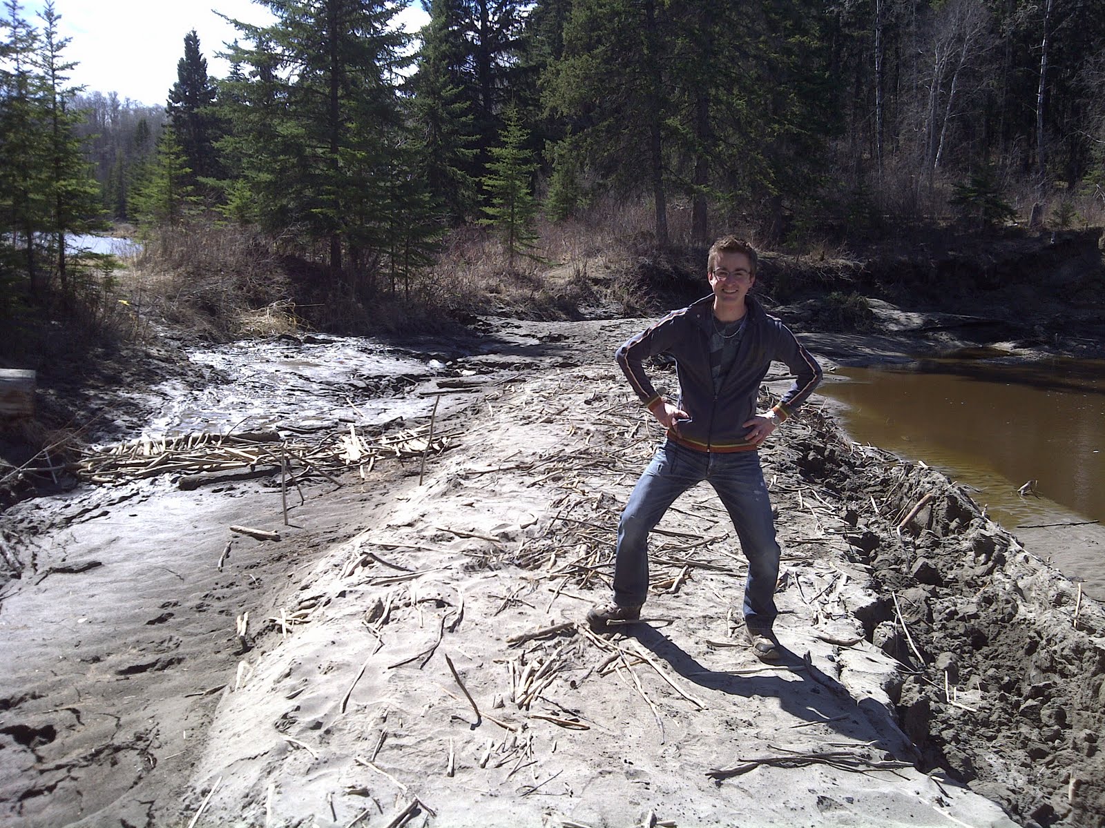 |
| Photo 58: Oxbow Lake, Whitemud Creek, Edmonton, Alberta. 2011-05-04 |
Oxbow
The fieldtrip to the Whitemud Creek oxbow was highly interesting (photo 58). Meandering rivers and streams often widen their curves over time. Large meanders almost cause the snake-like-trail of the stream to touch itself, and sometimes it does, as the curves of the meandering river continue to widen. This creates a shortcut in the stream’s flow. Because a straight path down is the quickest and has the highest gradient, the straight path is used more frequently than the former curving course of the stream. Over time, this curve is separated from the stream due to deposits at its openings. This separated curve, a former piece of the stream or river, is called an oxbow. Photo 58 shows the current path of the Whitemud Creek on the right and the oxbow in the top-left corner of the photo.
No comments:
Post a Comment